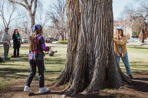
Forestry Students Calculate Economic Benefit of Campus Trees to Celebrate Arbor Day
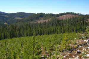
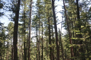
Trees are beautiful and provide a shady spot on a summer day. They also remove pollutants from the air, store carbon and produce oxygen. For Arbor Day, CSFS Forestry Tech Elle DeWaard led an effort to put a dollar amount on the benefits of trees on CSU’s campus.