

Colorado State Forest
The Colorado State Forest (CSF) and its field office are within the Northwest Area of the Colorado State Forest Service. The CSF office is one of 18 field offices throughout Colorado. This 71,000-acre state trust property is in north-central Colorado.
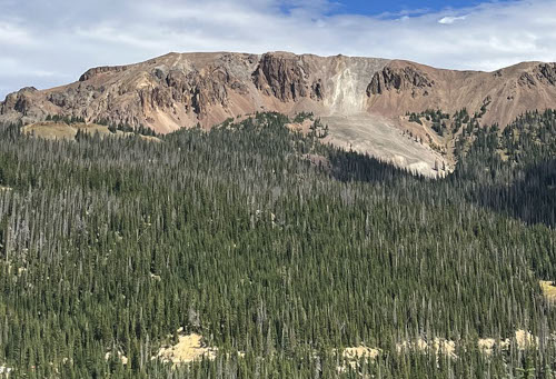
The state forest stretches approximately 28 miles north and south along the Medicine Bow Mountains. It is 8 miles wide at its widest point and 1 mile wide at its narrowest point.
The CSF is a high mountain forest with elevations ranging from 8,000 feet to 12,900 feet on the top of Clark Peak.
Approximately 52,000 acres of the site is forested. Engelmann spruce and subalpine fir dominate the higher elevations; lodgepole pine and quaking aspen are found at the mid and lower elevations.
The majority of the state forest is bordered by public land. The Routt National Forest lies to the north and south; the Roosevelt National Forest lies to the south and east, and includes the Rawah and Neota Wilderness areas.
Rocky Mountain National Park lies to the southeast. The western boundary abuts private land, state trust land and Bureau of Land Management lands.
Michigan Ditch Pre-Fire Mitigation Project
The Michigan Ditch, near Cameron Pass, is a trans-basin diversion owned by the City of Fort Collins. The ditch transports water from the upper Michigan River to the Poudre watershed. To protect this essential infrastructure, Fort Collins and the Colorado State Forest Service will begin a multi-phase project on 150 acres in the Colorado State Forest in summer 2025.
Staff
Blair Rynearson – State Forest Manager
Nolan Edler – Forester
Riley Paine – Forester
Contact Information
59228 Highway 14
Walden, CO 80480-9520
(970) 723-4505
[email protected]
State Forest Resources
SNOTEL Snowfall Reports — Natural Resources Conservation Service
Firewood Cutting Info
Firewood Cutting Information (4.6 MB PDF)
Firewood Overview Map (4.2 MB PDF)
County Road 41 Map (3.5 MB PDF)
Mendenhall Rd. / Bockman Rd. Firewood Harvesting Map (2.7 MB PDF)
Partners
National Association of State Foresters
USDA Medicine Bow-Routt National Forest
National Park Service, Rocky Mountain National Park
US Fish & Wildlife Service, Arapaho Wildlife Refuge
Bureau of Land Management, Kremmling Field Office
Bureau of Land Management, Little Snake Field Office