Media Contact

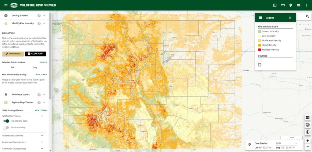
screenshot of the Wildfire Risk Viewer application that contains a digital map of Colorado and a legend.

Surface and Canopy Fuels in the 2022 CO-WRA Update

The Colorado Wildfire Risk Assessment (CO-WRA) is a statewide geospatial analysis designed to increase wildfire awareness, provide comprehensive data and information concerning wildfire risk and local fire history and educate users about wildfire risk reduction and hazard mitigation resources available from the Colorado State Forest Service (CSFS) and partner organizations. The 2022 CO-WRA update was released on July 17, 2023.

Read More

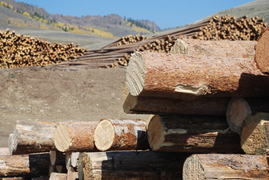
large piles of logs at different stages of logging in a vast mountain valley.

Accessible Timber Volume, 2010-2019

The Forest Inventory and Analysis (FIA) program of the USDA Forest Service, in collaboration with the Colorado State Forest Service, conducts and continuously updates an inventory across all forested lands in Colorado and Wyoming. Certified, highly trained foresters and research associates survey hundreds of permanent research plots annually, measuring 10 percent of the forested plots each year.

Read More