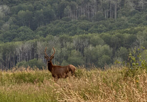
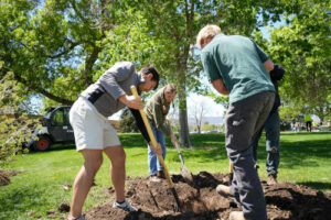
the side of a house with severe damage to the siding and a boarded up window

After the Storm: A Tree Inventory in Yuma

New CSFS video shows the devastating damage sustained in Yuma, Colo., from a 45-minute storm of baseball-sized hail. Yuma resident Edna Clawson shares the deep connection she has to the trees in her yard and her concern for their future.

A mountain waterfall runs off a hillside in a crowded forest.

Healthy watersheds need active forest management

Colorado’s year-round wildfire season threatens water quality, human health and economy. To protect Colorado’s drinking water, we use active forest management by collaborating with partnerships to promote resilient forests for the future of our watersheds.

Headshot of Colorado State Forest Service forester Peter Albrecht standing in a forest.

New CSFS satellite office opens in Leadville

Residents of Leadville and Lake County now have a Colorado State Forest Service forester dedicated to their forestry needs. Starting Sept. 16, 2024, Forester Peter Albrecht will staff the one-person CSFS satellite office located on the Colorado Mountain College-Leadville.

screenshot of the Wildfire Risk Viewer application that contains a digital map of Colorado and a legend.

Surface and Canopy Fuels in the 2022 CO-WRA Update

The Colorado Wildfire Risk Assessment (CO-WRA) is a statewide geospatial analysis designed to increase wildfire awareness, provide comprehensive data and information concerning wildfire risk and local fire history and educate users about wildfire risk reduction and hazard mitigation resources available from the Colorado State Forest Service (CSFS) and partner organizations. The 2022 CO-WRA update was released on July 17, 2023.

forest of tall coniferous trees.

Carbon in Colorado Forests

Gaining a better understanding of the complexities of carbon can help inform management strategies, identify priority areas, and promote climate mitigation and adaptation.

Type your address or the city or town where you live into the search field on this map.

Map powered by the Colorado Forest Atlas from the Colorado State Forest Service