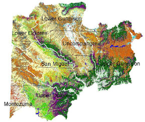
Montrose – Selected Local & Regional Landscape-scale Management Projects
- Log Hill Mesa Wildland Fire Mitigation
- Uncompahgre Plateau
- San Miguel Basin
- Uncompahgre Valley Poplar Initiative
- FireWise
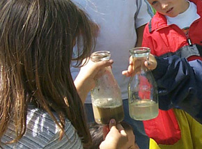
- Children’s Water Festival & Youth Environment Appreciation Day
Log Hill Mesa Wildland Fire Mitigation Project
The Log Hill Mesa area is experiencing rapid development within a rural wildland setting. The area has seen an increase in forest pests and risk from wildland fire, largely the result of deteriorating forests and human impact. The focus on Log Hill Mesa is not only the prevention of loss of human life and property resulting from a destructive wildland fire, but also improved forest health, watershed restoration, and maintenance of wildlife habitat.
Efforts include identification of high hazard sites, fire response pre-planning and educational outreach to affected officials and homeowners. Desired outcomes include implementing recommended strategies to manage vegetation to reduce fuel hazards while restoring ecosystems, and suggesting the use of FireWise materials in new home construction and when existing structures are remodeled. Key partners include Ouray County, Log Hill Mesa Fire Protection District and state/federal land management agencies. In the Fall of 2001, the open space lands and private lands on the south rim of Log Hill Mesa were targeted for treatment.
Learn more about the Log Hill Mesa Wildland Fire Mitigation Project
Uncompahgre Plateau Project
The project’s statement of purpose includes:
Land — In view of its focus on restoring ecosystem health on the Uncompahgre Plateau
Stewardship — Because we will learn how to restore, enhance and maintain the health of land

Resources — For we will do so in the process of sustainably and efficiently managing the Plateau’s resources for the economic benefit of the people of the area
Community — For it is through joining efforts and working together, that this meaningful goal will be accomplished
Learn more about the Uncompahgre Plateau Project
San Miguel Basin Project

With over 60 percent of the million-acre watershed in federal public lands, the San Miguel Watershed in southwestern Colorado includes some of the highest, most beautiful and most biologically intact and valuable landscapes in the nation. At its heart, the predominantly free-flowing San Miguel River extends 72 miles from high alpine meadows and waterfalls above Telluride to a deep red sandstone canyon confluence with the Dolores River. The watershed is also home to several independent and culturally diverse small towns with economies variously based on agriculture, mining, resort tourism and recreation.
A coordinated focus on the San Miguel River began in 1990 with a group called the San Miguel River Coalition. This group, formed to address river corridor issues, comprised representatives of the U.S. Forest Service, Bureau of Land Management, Colorado Division of Wildlife, Telluride Institute, Town of Telluride, San Miguel County, The Nature Conservancy, Telluride Visitor Services, commercial river outfitters and others.
Learn more about the San Miguel Basin Project
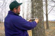
Uncompahgre Valley Poplar Initiative
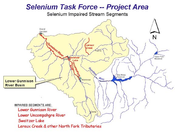
Learn more about the Gunnison Basin Selenium Task Force and Project Area
Children’s Water Festival
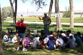
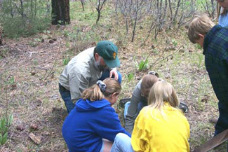
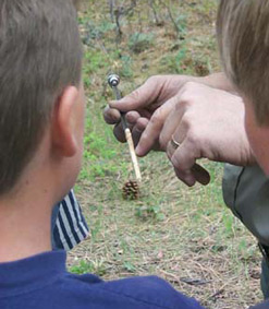
Youth Environment Appreciation Day