Durango Field Office
The Durango Field Office of the Colorado State Forest Service (CSFS) is one of 18 field offices in Colorado. We are a service and outreach agency of the Warner College of Natural Resources at Colorado State University (CSU). The CSFS state office is on the CSU Foothills Campus in Fort Collins.
Our mission is to achieve stewardship of Colorado’s diverse forest environments for the benefit of present and future generations.
The Durango Field Office is staffed by four full-time foresters, a statewide marketing & utilization forester, an inventory forester responsible for conducting the Forest Inventory and Analysis Program in southwestern Colorado, and an administrative assistant.

Staff
Estevan Vega – Acting Supervisory Forester
Ryan Cox – Lead Forester
Josh Braun – Forester
Bryce Powell – Forester
Clarissa Dukeminier – Forest Technician
Justin McAfee – Administrative Assistant
News
- Drought amplifies beetle damage to Colorado’s forests – Durango Herald, March 17, 2022
- Arbor Day 2021: 10 ‘moon trees’ land in Durango – Durango Herald, April 23, 2021
- Landowners urged to be proactive to prevent wildfires – Durango Herald, June 28, 2019
Resources
- Home Ignition Zone Guide (2.7 MB PDF) – prepare your home for wildfire and create defensible space
- 2023 CSFS Southwest Forestry Contractor/Service Provider List (370 KB PDF)
- Forest Ag Electronic Forms
Post-Fire Rehabilitation
- Aspen (939 KB PDF)
- Douglas-fir (586 KB PDF)
- Gambel Oak and Serviceberry (865 KB PDF)
- Piñon Pine-Juniper (888 KB PDF)
- Ponderosa and Lodgepole Pine (896 KB PDF)
Contact Information
Physical Address
914 Talon Lane
Durango, CO 81301
Mailing Address
Durango Field Office
FLC 7233
1000 Rim Dr.
Fort Lewis College Campus
Durango, CO 81301-3908
(970) 247-5250
CSFS_Durango@mail.colostate.edu
Directions to our office
Partners
USFS/BLM San Juan Public Lands Center (Durango)
San Juan National Forest
Columbine District (Bayfield) / San Juan Mountains Center (Silverton) / Dolores District / Pagosa Ranger District
Canyons of the Ancients National Monument
Tres Rios Field Office
Natural Resources Conservation Service Colorado Area 1
High Desert Conservation District
Dove Creek Conservation District
La Plata Conservation District
Mancos Conservation District
Pine River Conservation District (Ignacio, Bayfield)
Field Office Location
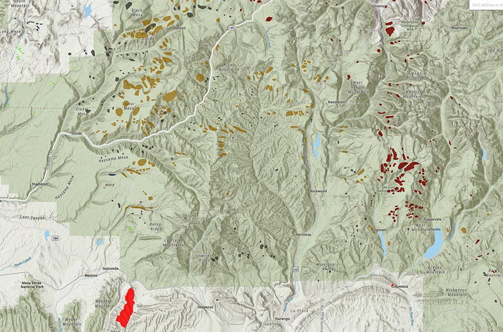
Annual Forest Health Report Story Map
CSFS Forest Entomologist Dr. Dan West produces an Esri Story Map for the annual Forest Health Report, which tells the story of how data was collected to compile the report, and offers users an interactive way to find out about forest conditions in their area.
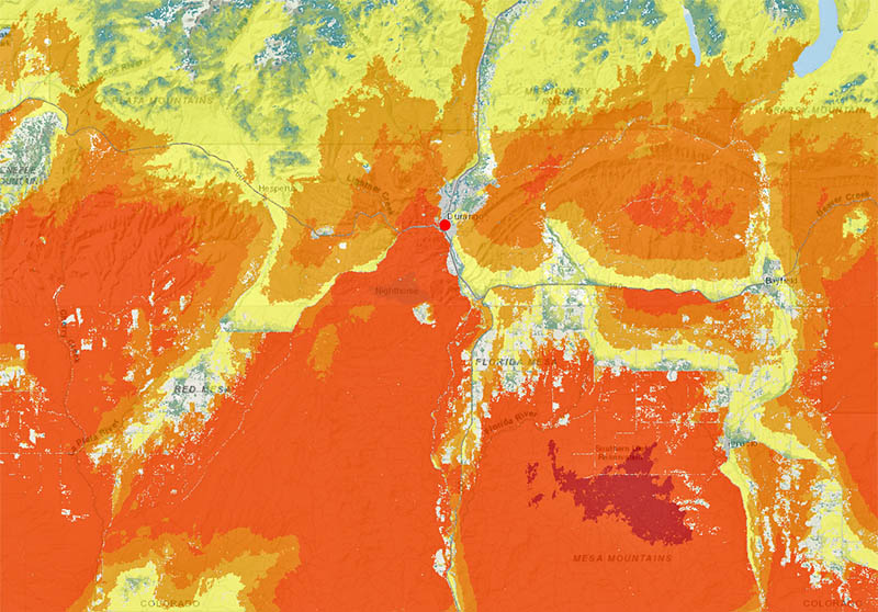
Wildfire Risk Viewer
The Wildfire Risk Viewer is a web-mapping application that allows users to identify specific wildfire risk levels within a 1/2-mile radius of a home, or any other point of interest on the map.


