Golden Field Office
The Golden Field Office has assisted the Colorado Division of Parks and Wildlife for more than 30 years in maintaining healthy forests, reducing wildfire hazards and improving wildlife habitat on local properties such as the Golden Gate Canyon State Park, Mt. Evans State Wildlife Area and Staunton State Park. The office also assists Denver Mountain Parks, the Denver Water Board and Jefferson County Open Space through forest management activities on these locally owned public lands.
Staff
John White – Supervisory Forester
Tyler Brady – Lead Forester
Meagan Aldous – Forester
Jake Livingston – Forester
Hillary Hiett – Forester
Brenda De Herrera – Accounting Tech
Contact Information
1504 Quaker Street
Golden, CO 80401-2956
(303) 279-9757, (303) 279-2011
FAX (303) 278-3899
CSFS_Golden@mail.colostate.edu
We support private landowners efforts to manage their forestlands through forest stewardship planning, insect and disease detection and control, and technical support and inspections for more than 160 forest agriculture properties.
We have been active in wildland-urban interface concerns for more than 20 years and continues to assist county planners and private developers review and implement wildfire mitigation plans for subdivisions, to help private landowners plan their defensible space activities around homesites, and to facilitate community wildfire planning and fuels reduction activities.
Post-Fire Rehabilitation
- Colorado Post-Fire Playbook (13.1 MB PDF)
- Insects and Diseases Associated with Forest Fires (347 KB PDF)
- Replanting in Burn Areas: Tips for Safety and Success (730 KB PDF)
- Soil Erosion Control after Wildfire (6 MB PDF)
- Vegetative Recovery after Wildfire (188 KB PDF)
- Restoring Colorado’s Forests Fund (200 KB PDF)
- Aspen (939 KB PDF)
- Douglas-fir (586 KB PDF)
- Gambel Oak and Serviceberry (865 KB PDF)
- Piñon Pine-Juniper (888 KB PDF)
- Ponderosa and Lodgepole Pine (896 KB PDF)
Field Office Location
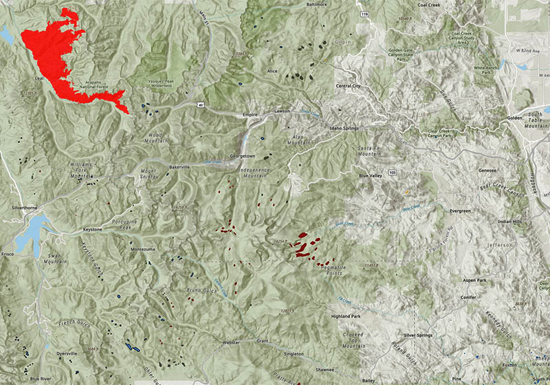
Forest Health Report Story Map
CSFS Forest Entomologist Dr. Dan West produced an Esri Story Map for the annual Forest Health Report, which offers users an interactive way to learn about local forest conditions.
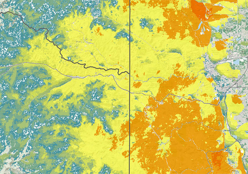
Wildfire Risk Viewer
The Wildfire Risk Viewer is a web-mapping application that allows users to identify specific wildfire risk levels within a 1/2-mile radius of a home, or any other point of interest on the map.


