Gunnison Field Office
The Gunnison Field Office of the Colorado State Forest Service (CSFS) is one of 18 field offices in Colorado, serving Gunnison and Hinsdale counties. We are a service and outreach agency of the Warner College of Natural Resources at Colorado State University (CSU). The CSFS state office is on the CSU Foothills Campus in Fort Collins.
Our mission is to achieve stewardship of Colorado’s diverse forest environments for the benefit of present and future generations.
We offer technical assistance and information to private landowners and homeowners interested in becoming good stewards of the natural resources on their land. We do not manage campgrounds, have jurisdiction over public lands or sell recreational licenses.

Staff
Mike Tarantino – Supervisory Forester of Science & Data
Dylan Eimer – Forester
Ashley Baer – Forester
Ashley Woolman – Forest Carbon Specialist
Paul Roman – FIA Forester
Marshall Fischer – FIA Forester
News & Resources
- To be placed on our mailing list, please email us at CSFS_Gunnison@mail.colostate.edu.
- Partners Begin Project to Mitigate Beetle Activity Northeast of Gunnison – June 9, 2020
- Crested Butte Managing Mountain Pine Beetle Infestation – April 16, 2019
- Synergy Semiochemicals MCH – a naturally occurring anti-aggregation pheromone of the Douglas-fir beetle to protect trees from attack
- Douglas-fir Beetle Quick Guide (600 KB PDF)
Post-Fire Rehabilitation
- Aspen (939 KB PDF)
- Douglas-fir (586 KB PDF)
- Gambel Oak and Serviceberry (865 KB PDF)
- Piñon Pine-Juniper (888 KB PDF)
- Ponderosa and Lodgepole Pine (896 KB PDF)
Contact Information
1141 State Highway 135
Gunnison, CO 81230
(970) 641-6852
FAX (970) 641-0653
CSFS_Gunnison@mail.colostate.edu
CSFS Gunnison Nursery Grows Seedling Trees From High-Elevation Seed Stock Collected in Gunnison Valley
2018-2019 Seedling Tree Program Update
Please note that all seedling tree orders for the Gunnison Field Office will go through the CSFS Fort Collins Nursery this year. Please call or email the Nursery at (970) 491-8429 or CSFS_Trees@mail.colostate.edu for details.
Your order placed through the CSFS Nursery will still be available for pickup at the Gunnison Field Office. If an order is placed, you will be notified in the spring when your seedlings will be available.
If you have questions regarding what species would be appropriate for your site, the Gunnison Office (970) 641-6852 is available to help you with your selection. Remember, seedlings may be ordered now for spring delivery, so don’t hesitate if you’re interested in placing an order. Thank you.
2019 Forest Health Report Story Map
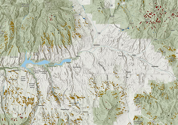
CSFS Forest Entomologist Dr. Dan West has produced an Esri Story Map for the 2019 Forest Health Report, which tells the story of how data was collected to compile the report, and offers you an interactive way to find out about forest conditions in your area.
Use your cursor to zoom in/out and navigate around the map to display Gunnison and Hinsdale county information.
Field Office Location
Forest Health Report Story Map
CSFS Forest Entomologist Dr. Dan West produced an Esri Story Map for the annual Forest Health Report, which offers users an interactive way to learn about local forest conditions.
Wildfire Risk Viewer
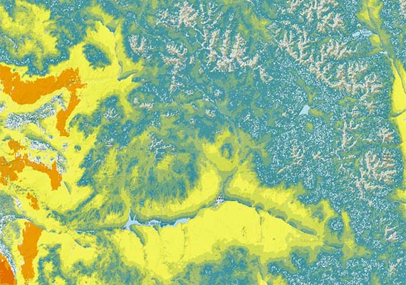
The Wildfire Risk Viewer is a web-mapping application that allows users to identify specific wildfire risk levels within a 1/2-mile radius of a home, or any other point of interest on the map.


