Rifle Field Office
Serving Garfield, Pitkin and Rio Blanco counties.
Staff
Matt Schiltz – Supervisory Forester
Matthew Mastalir – Forester
Contact Information
1001 Railroad Ave., Fairgrounds
P.O. Box 1112
Rifle, CO 81650
970-625-3969
[email protected]
The Rifle Field Office of the Colorado State Forest Service (CSFS) is one of 18 field offices throughout Colorado.
The CSFS is a service and outreach agency of the Warner College of Natural Resources at Colorado State University (CSU). The CSFS state office is on the CSU Foothills Campus in Fort Collins.
Our mission is to achieve stewardship of Colorado’s diverse forest environments for the benefit of present and future generations.
Resources
- Annual Forest Health Report
- Piñon Ips Beetle – 2020 Quick Guide (5.3 MB PDF)
- Home Ignition Zone Guide (2.7 MB PDF)
- 2022 Forestry Contractors (160 KB PDF)
Field Office Location
Forest Health Report Story Map
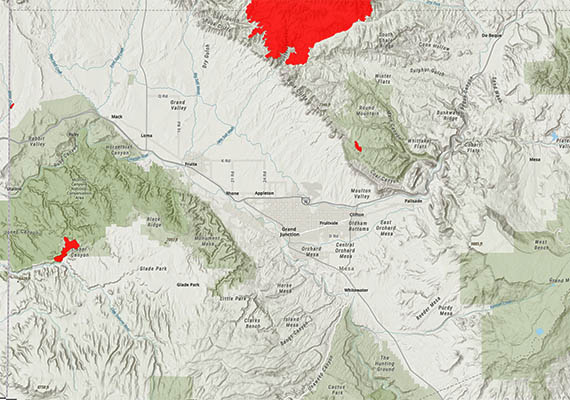
CSFS Forest Entomologist Dr. Dan West produced an Esri Story Map for the annual Forest Health Report, which offers users an interactive way to learn about local forest conditions.
Wildfire Risk Viewer
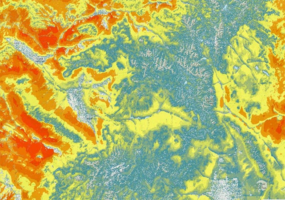
The Wildfire Risk Viewer is a web-mapping application that allows users to identify specific wildfire risk levels within a 1/2-mile radius of a home, or any other point of interest on the map.

Federal Partners
-
Colorado River Valley Field Office (Silt): 970-876-9000
-
White River Field Office (Meeker): 970-878-3800
Natural Resources Conservation Service – Colorado
-
Glenwood Field Office (Garfield and Pitkin Counties): 970-404-3443
-
Meeker Field Office (Rio Blanco County): 970-878-5628
White River National Forest
- Supervisor’s Office (Glenwood Springs): 970-945-2521
- Aspen-Sopris Ranger District (Carbondale): 970-945-2521
- Rifle Ranger District: 970-625-2371
- Blanco Ranger District: 970-878-4039
State & Local Partners
- Northwest Region Office (Grand Junction): 970-255-6100
- Glenwood Springs Office: 970-947-2920
- Meeker Office: 970-878-6090
Colorado State University – Extension Service
Tri-River Area Extension
Garfield County Extension (Garfield and Pitkin Counties): 970-625-3969
Rio Blanco County Extension: 970-878-9490


