

FIA FAQ
The FIA annual inventory provides objective and scientifically credible data on the extent, condition, volume, growth, depletion and health of our forest resources, and measures these changes over time. This information helps researchers, policymakers, consultants, private industry, landowners and natural resource professionals better understand current forest conditions and significant changes across Colorado and the nation.


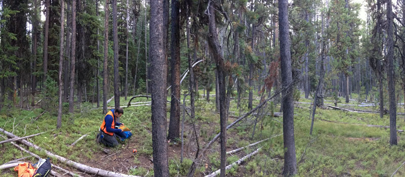


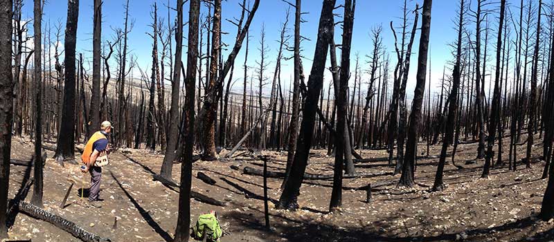


Forest Inventory Analysis (FIA) is a Forest Service program that inventories and analyzes public and private U.S. forests and their resources. Often called the Nation’s Forest Census, the FIA program is mandated by Congress to provide annual forest inventories at the State level. Since 1930, the FIA program has collected, analyzed, and reported information on the status and trends of America’s forests. FIA tracks how much forest exists, where it exists, who owns it, how is it being managed, and how it is changing, as well as how the nation’s trees and other forest vegetation are growing and how much has died, regenerated, or has been removed or planted. This information is used in many ways, such as guiding investment in natural resources, evaluating wildlife habitat conditions, assessing the sustainability of ecosystem management practices, and supporting planning and decision making activities undertaken by public and private enterprises.
Recently, the FIA program expanded to include the sampling of urban trees on all land use types in select cities. This differs from FIA’s traditional methods, which include the sampling of trees within urban settings but only on land that is considered “forest land” by FIA definitions. Recognizing the importance of including all urban trees and forests in the nation’s forest census, the Forest Service, together with state and local cooperators, is working towards a systematic approach for collecting and reporting data on the status and trends of urban trees and forests. This effort has led to the creation of the Urban FIA program.
For more information see the FIA program website.
Urban FIA is a comprehensive, strategic level, continuous natural resources inventory and monitoring system designed to function on both public and private lands in an urban environment. It is not a one-time “snapshot” of our urban forests; it is a continuous inventory, measuring panels of plots annually so the data is constantly being refreshed.
Urban FIA will complement existing regional and local urban efforts to provide a cohesive picture of urban forest conditions within census defined urban areas in the U.S. with a special emphasis on city-level data for each of the approximately 100 target (largest) cities in the nation. Although it has much in common with both the rural FIA program and i-Tree Eco methods and applications, Urban FIA is an independent program.
Urban FIA is unique in that it is a product of collaboration and synergy between the rural focused FIA program and i-Tree, and it has benefited from lessons learned from past FIA urban inventory pilots. Urban FIA provides data of a known quality, a comparison of plots along the urban to rural gradient, tree merchantability and quality, insect and disease detection, and ecosystem services information.
i-Tree is a state-of-the-art, peer-reviewed software suite from the USDA Forest Service that provides urban forestry analysis and benefits assessment tools. The i-Tree Tools help communities of all sizes strengthen their urban forest management and advocacy efforts by quantifying the structure of community trees and the environmental services that trees provide.
Since the initial release of the i-Tree Tools in August 2006, numerous communities, non-profit organizations, consultants, volunteers and students have used i-Tree to report on individual trees, parcels, neighborhoods, cities, and even entire states. By understanding the local, tangible ecosystem services that trees provide, i-Tree users can link urban forest management activities with environmental quality and community livability. Whether your interest is a single tree or an entire forest, i-Tree provides baseline data that you can use to demonstrate value and set priorities for more effective decision-making.
For more information visit the i-Tree website.
FIA uses the term “urban forest” broadly, to refer to the tree canopy cover of an urban area, including trees and tall shrubs. FIA uses the U.S. Census definition of “urban,” which includes urban areas and urban clusters (UAUC), to define urban areas.
Yes, over the past several years the FIA program has piloted a number of statewide urban forest inventories, in partnership with U.S. Forest Service State & Private Forestry and state forestry agencies. These pilot studies demonstrated that the FIA system is capable of assessing and monitoring urban forests. While the statewide pilots provided a strategic, collective look at urban forests within a state, they were too coarse a sample to provide meaningful information to urban constituencies concerned about the urban forest of their city. The new Urban FIA framework has been designed with lessons learned from these state pilots. In contrast to the statewide approach of the pilots, the goal of Urban FIA is to build a strategic national inventory of urban forests one metro area at a time, with a special emphasis on the major city within each metro area. This city-based approach will lead to a more comprehensive urban forest inventory for the nation.
Absolutely. The program has been designed specifically to provide meaningful city-level data on the local level. Data from Urban FIA will provide strategic level, city wide data to city planners and elected officials to assist them in making budgetary decisions regarding future investments in their city’s urban forests. The program goes beyond a one-time “snapshot” of our urban forests – it is a continuous inventory, measuring panels of plots annually so the data is constantly being refreshed. The program is set up to measure a percentage of the plots associated with each study area each year; the number of years required to complete this process is referred to as cycle length. Urban FIA maintains the same cycle length as the rural FIA program in any individual state. For example, cities on a 7-year cycle will complete 1/7th of their plots each year and then start to re-measure the plots in year 8, when the cycle repeats. It is estimated that there may be preliminary data available after the first 3 or 4 years, and a summary report after the 7th year, as well as annual updates as new data become available. This new information about the city, coupled with base FIA sampling in surrounding urban and rural areas, will provide a more comprehensive view of the forest at a regional and national scale, across an urban to rural gradient.
The FIA program utilizes a hexagonal sampling frame, selecting one sample for every 6,000 acres of land. This same sampling frame will be utilized to identify Urban FIA plots within all census-defined Urban Areas / Urban Clusters (UAUC) across the U.S.; as well as each target city’s (approximately 100 of the largest cities in the nation) Core Based Statistical Area – CBSA. All hexes within the Census defined UAUC within the CBSA will contain a plot location that is randomly selected within each hex.
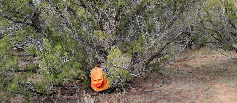
Hexagons within the target city boundary (city limits) will be intensified to a level resulting in about 200 plots. This sampling frame will record land-use and land cover information (including impervious surface) and measure vegetation if it exits, on all plots, even if there are no trees on the plot. A short slide show demonstrating the plot selection process in Baltimore can be found here (PPTX).
1The contents of this FAQ section are provided by the courtesy of the USDA Forest Service.