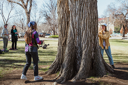
Forestry Students Calculate Economic Benefit of Campus Trees to Celebrate Arbor Day
Trees are beautiful and provide a shady spot on a
Serving Larimer and Weld counties in north-central Colorado, improving forest health through technical assistance.
Max Erickson – Supervisory Forester
Luke Dittrich – Lead Forester
Mike Hughes – Forester
Adam Mitchell – Forester
Pete Morin – Forester
Greg Zausen – Forester
Kendra Dempster-Walsh – Forestry Technician
Elle DeWaard – Forestry Technician
Physical Address
3843 Laporte Ave.
Fort Collins, CO 80521
Mailing Address
Colorado State Forest Service
5060 Campus Delivery
Fort Collins, CO 80523-5060
(970) 491-8660
FAX (970) 491-7736
[email protected]

Trees are beautiful and provide a shady spot on a
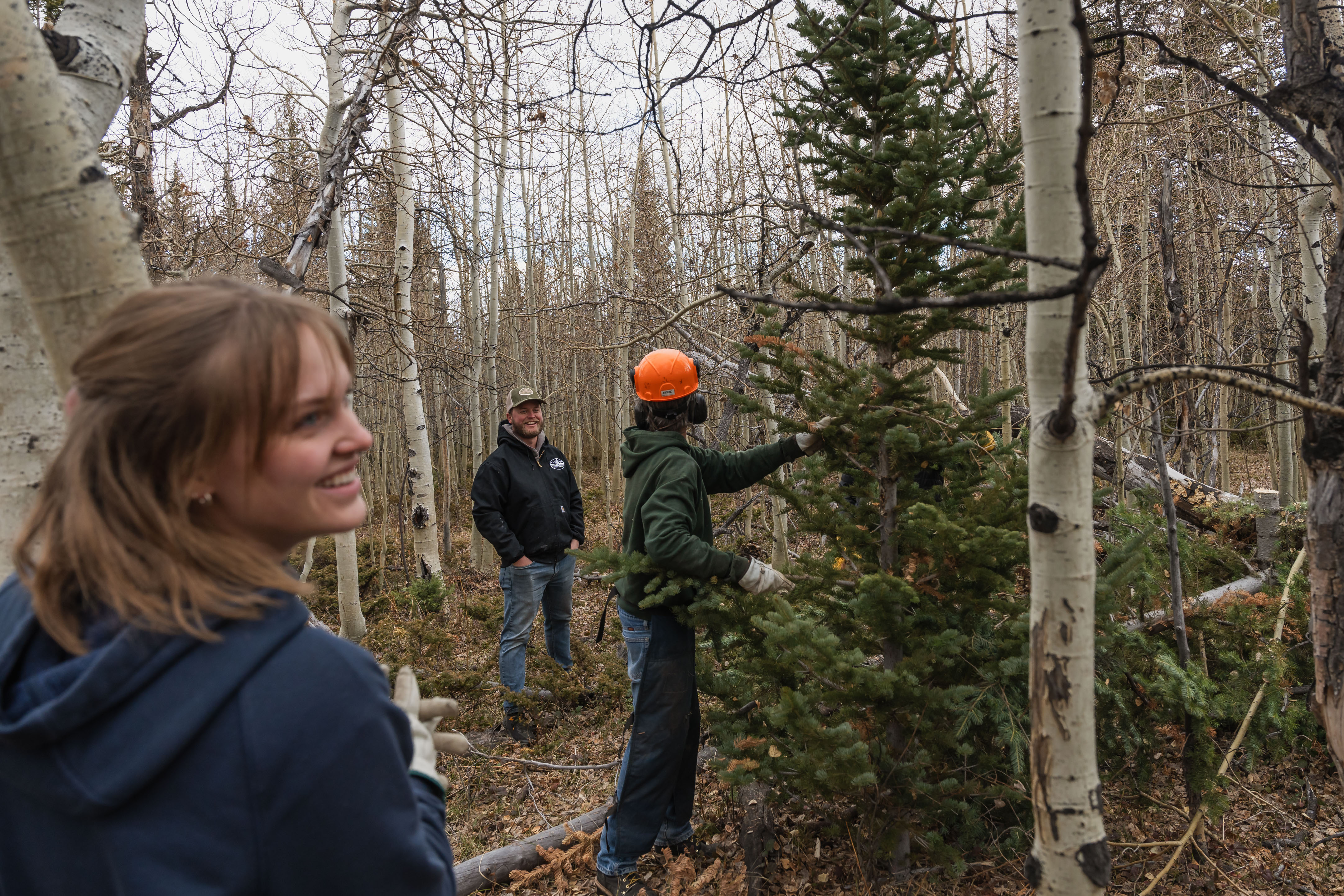
CSFS foresters selectively cut and deliver the State Capitol holiday
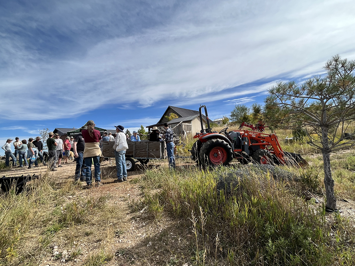
Roger Dev and Marolyn Kvols spend their weekends planting trees,
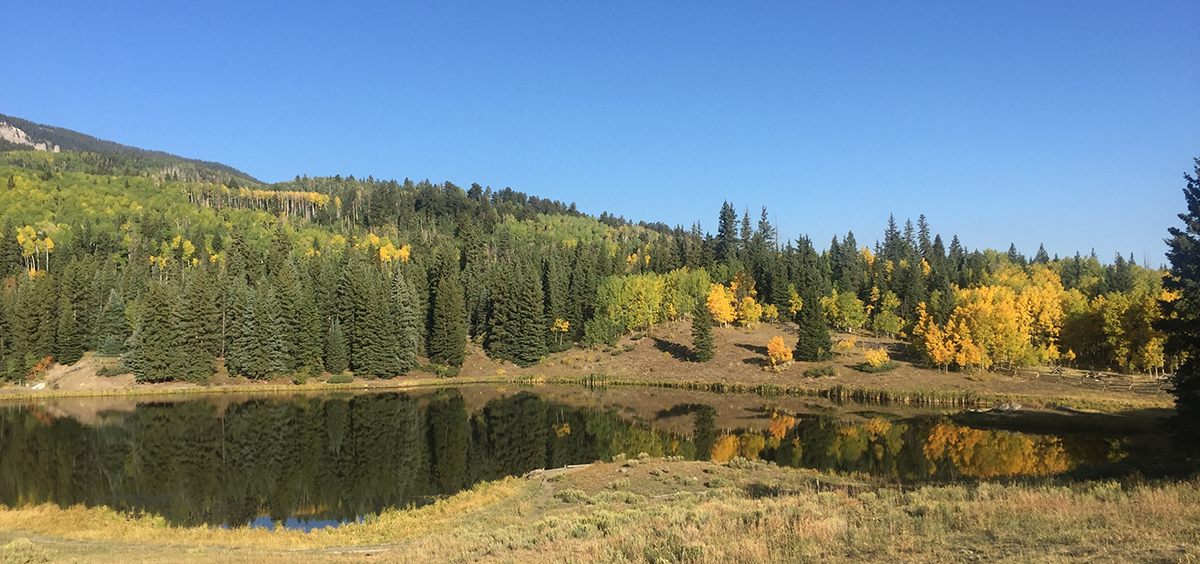
CSFS foresters spend a lot of time in Colorado’s forests,
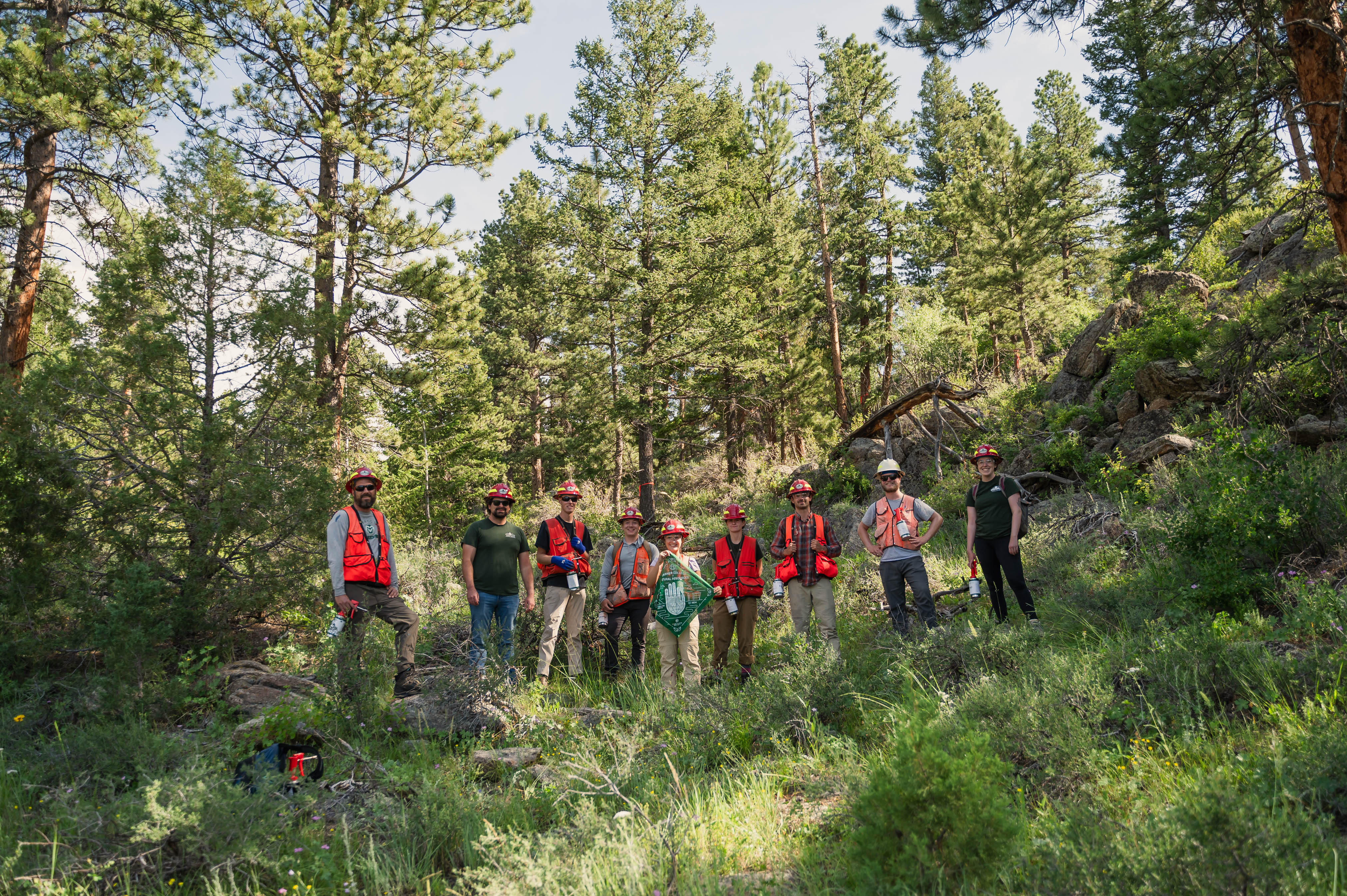
A new summer internship opportunity offers real-world forestry experience for
Rocky Mountain National Park
Arapaho & Roosevelt National Forests
Natural Resources Conservation Service Colorado Area 2
Boyd Lake State Park
Lory State Park
Larimer County Extension
Weld County Extension
Larimer County Department of Natural Resources
West Greeley Conservation District
Fort Collins City Forester
Greeley Forestry
Loveland City Forester
Learn about the work the Windcliff community in Estes Park has been doing to encourage community involvement in wildfire mitigation.
Rocky Mountain National Park
Arapaho & Roosevelt National Forests
Natural Resources Conservation Service Colorado Area 2
Boyd Lake State Park
Lory State Park
Larimer County Extension
Weld County Extension
Larimer County Department of Natural Resources
West Greeley Conservation District
Fort Collins City Forester
Greeley Forestry
Loveland City Forester
CSFS Forest Entomologist Dr. Dan West produced an Esri Story Map for the annual Forest Health Report, which offers users an interactive way to learn about local forest conditions.
The Wildfire Risk Viewer is a web-mapping application that allows users to identify specific wildfire risk levels within a 1/2-mile radius of a home, or any other point of interest on the map.