


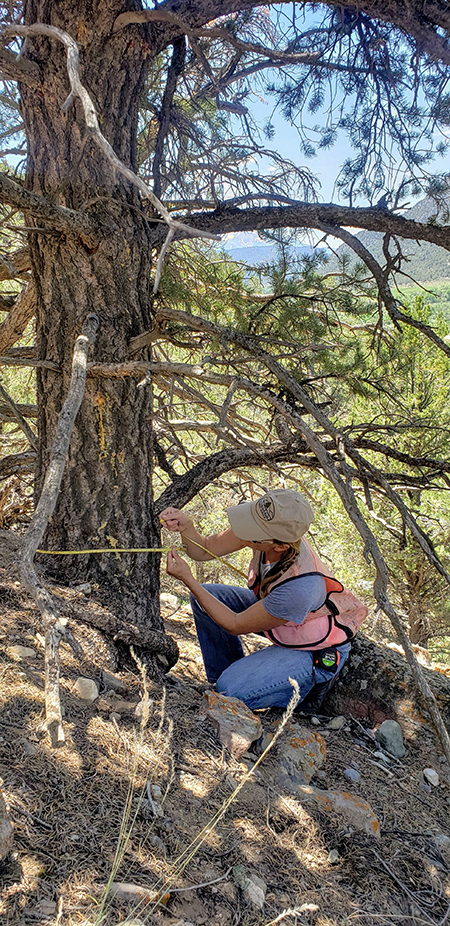
Olathe High School students harvest holiday trees for local families
Future Farmers of America students spread holiday cheer AND help meet goals in a Community Wildfire Protection Plan.

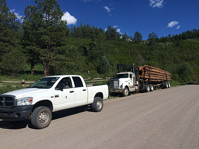
Future Farmers of America students spread holiday cheer AND help meet goals in a Community Wildfire Protection Plan.
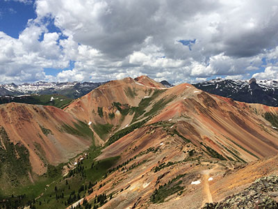
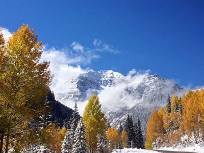
The Colorado State Forest Service works year round, statewide to care for Colorado’s trees, working with partners in towns and cities, federal land managers, private landowners and Colorado State Parks. Throughout August, we’ll add examples of our work in state parks across state.