

Cañon City Field Office
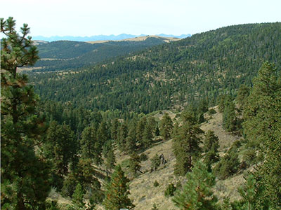
The Cañon City Field Office of the Colorado State Forest Service (CSFS) is one of 18 field offices throughout Colorado, serving Custer, Fremont and Pueblo counties.
The office is the silvicultural lessee for state trust lands in our three-county area.
Staff
We deliver technical assistance to private landowners, municipal and county governments, and agencies. Our mission is to achieve stewardship of Colorado’s diverse forest environments for the benefit of present and future generations.
Danny Schell – Supervisory Forester
Thomas Hatling – Forester
Lisa Clark – Accounting Technician
Nate Rausch – FIA Supervisory Forester
Andrew Reed – FIA Research Associate I
Programs & Services
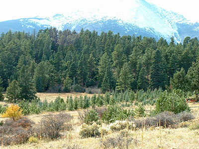
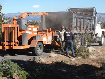
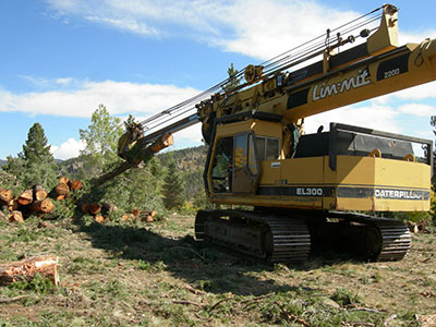
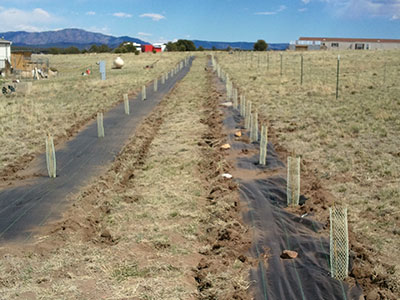
Our programs and services are broad and varied but generally fall within the areas of forest management, wildfire mitigation, seedling tree sales, community forestry and education.
Facilities
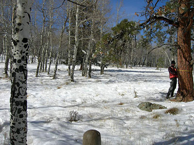
We host an inventory forester responsible for conducting the Forest Inventory and Analysis (FIA) program in southeastern Colorado. We also provide facilities for the Colorado Department of Homeland Security, Division of Fire Prevention and Control (DFPC).
Contact Information
515 McDaniel Boulevard
Cañon City, CO 81212
Directions to our office
(719) 275-6865
FAX: (719) 275-6853
[email protected]